Arizona White Mountains, Labor Day Weekend
- Taylor Courier
- 13 Sep, 2026
Last weekend was the Labor Day long weekend, and I took a road trip to the White Mountains from Saturday through Monday.
Saturday: Greer and the climb to camp
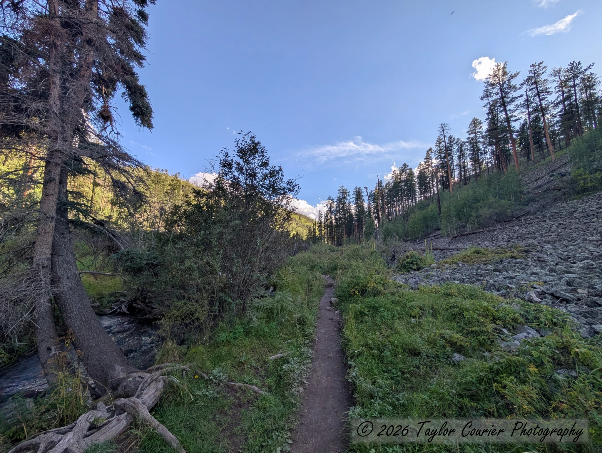
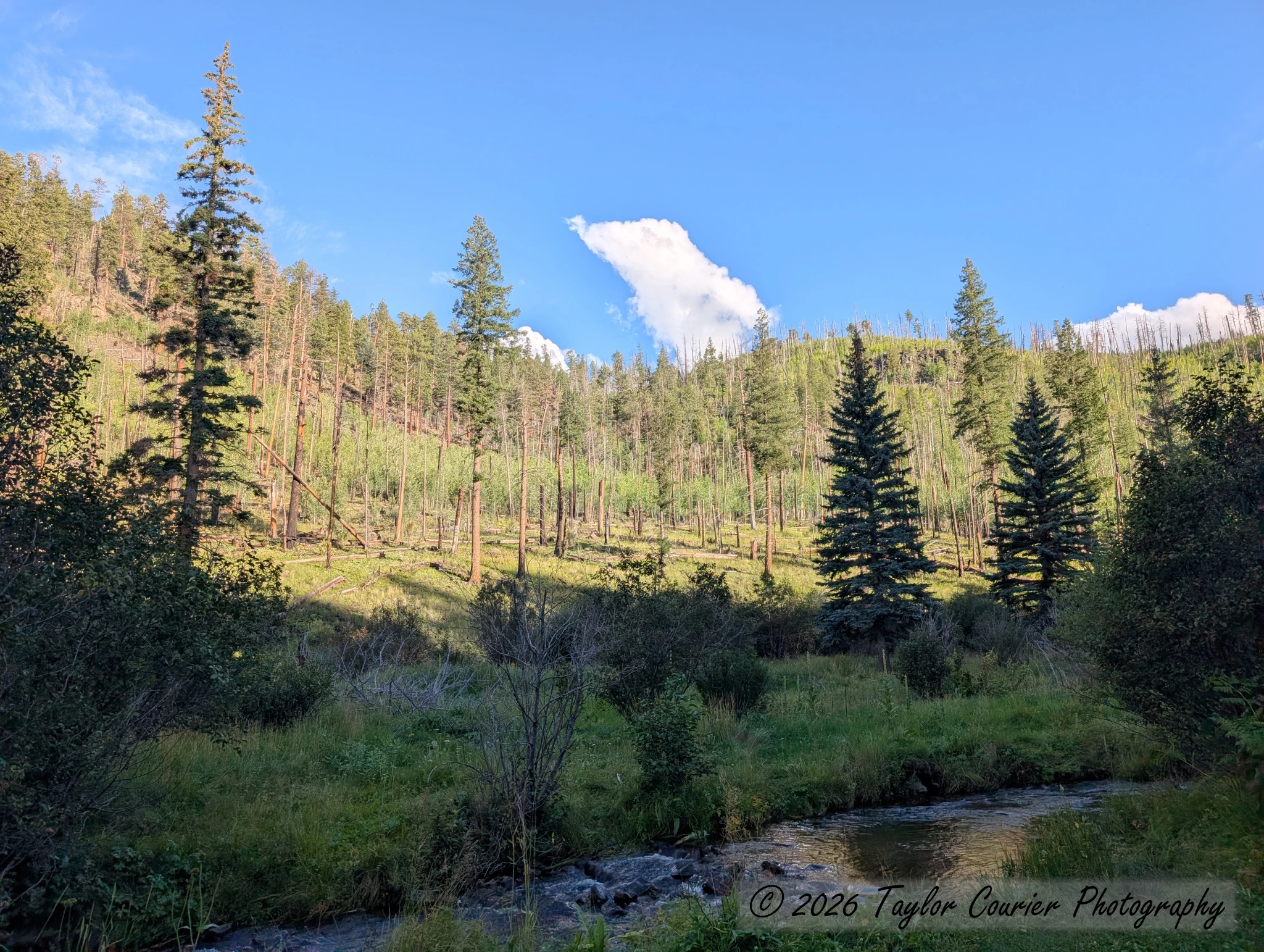
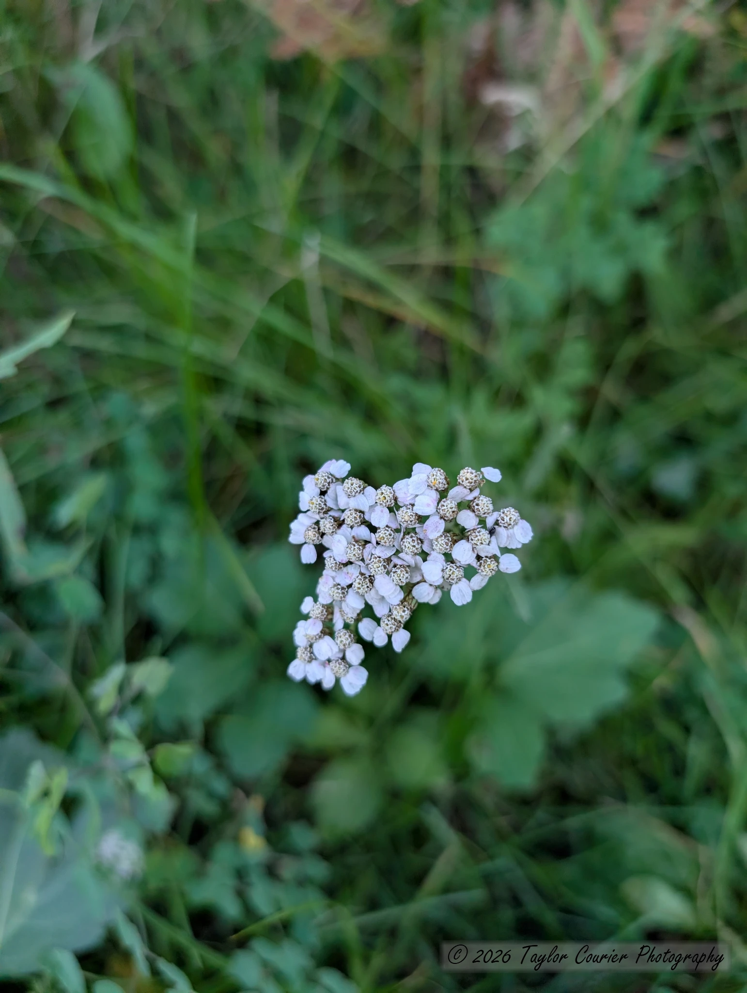
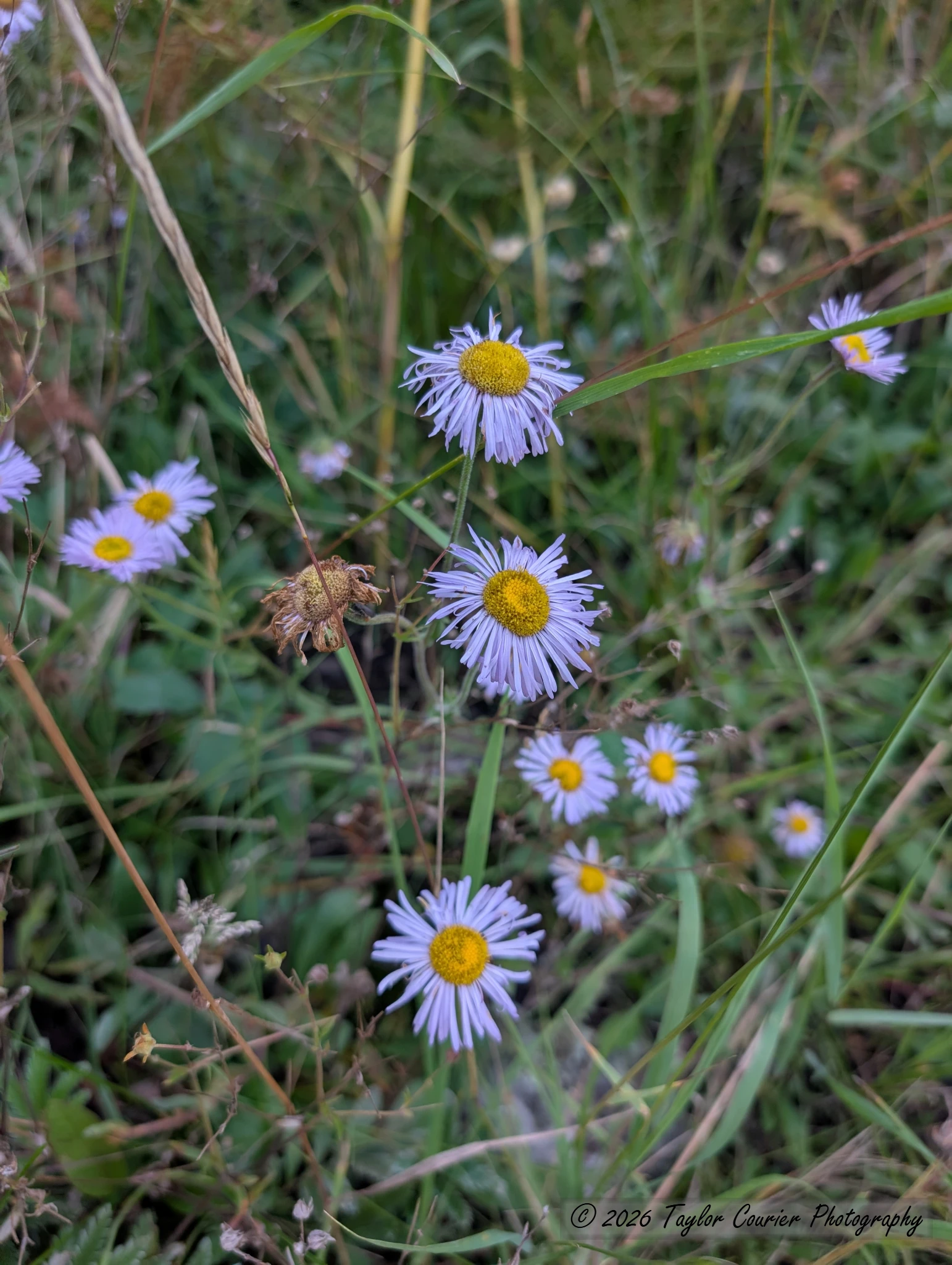
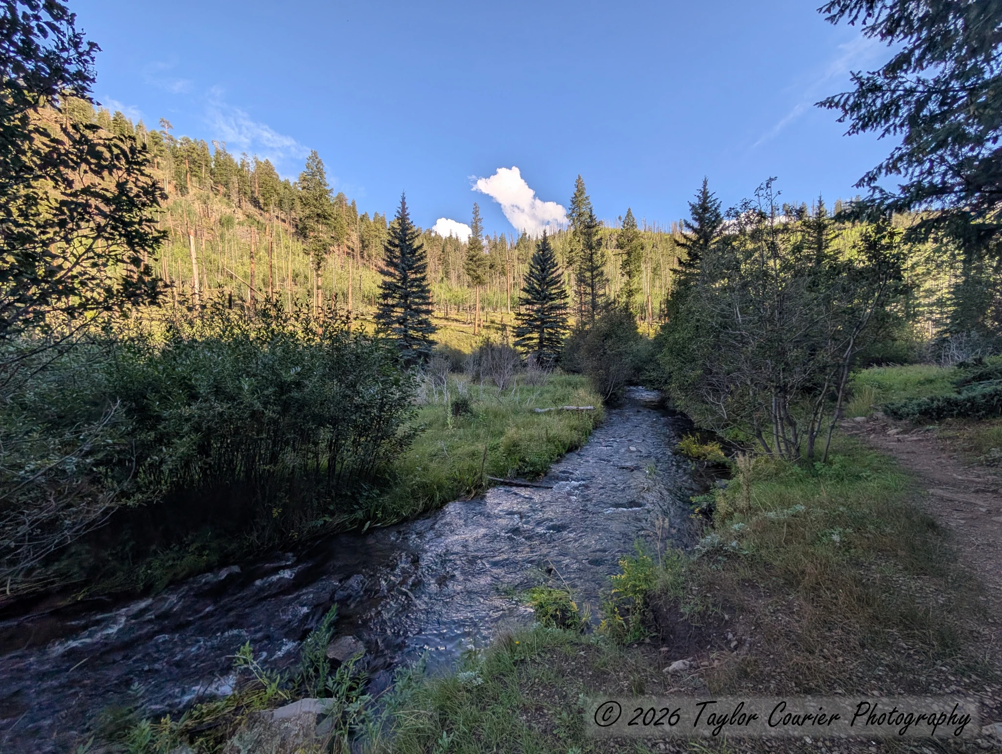
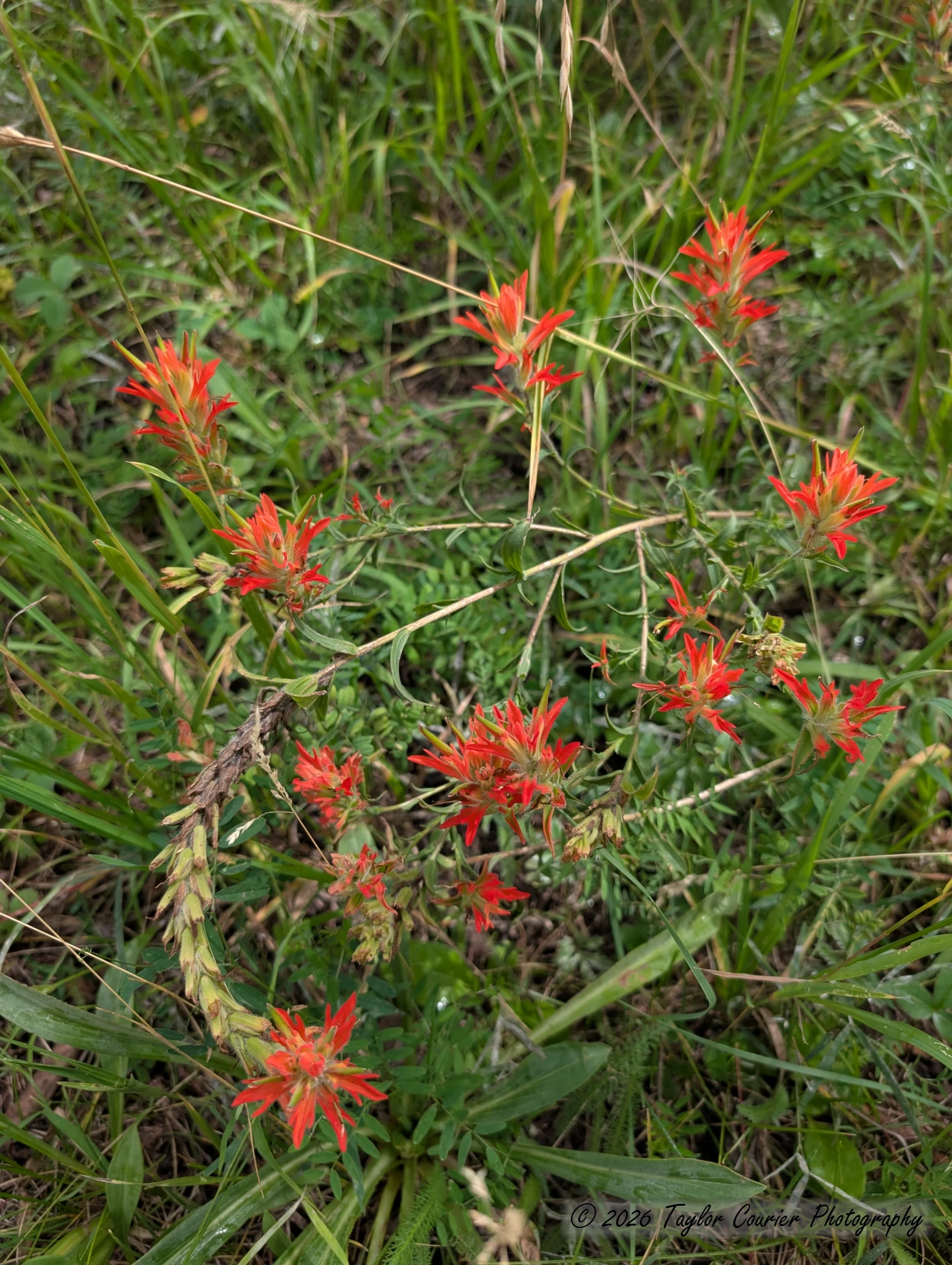
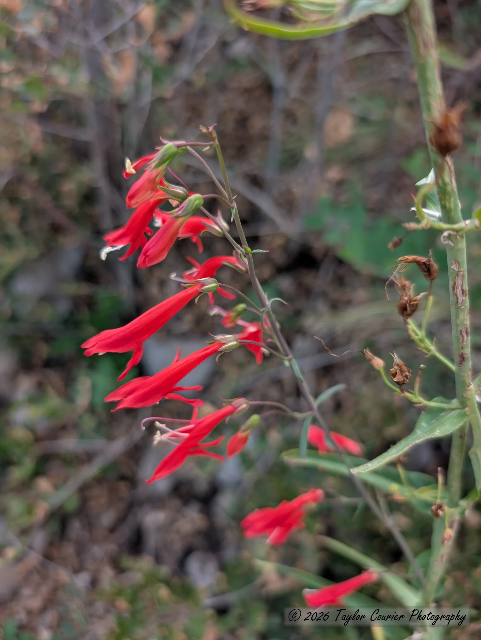
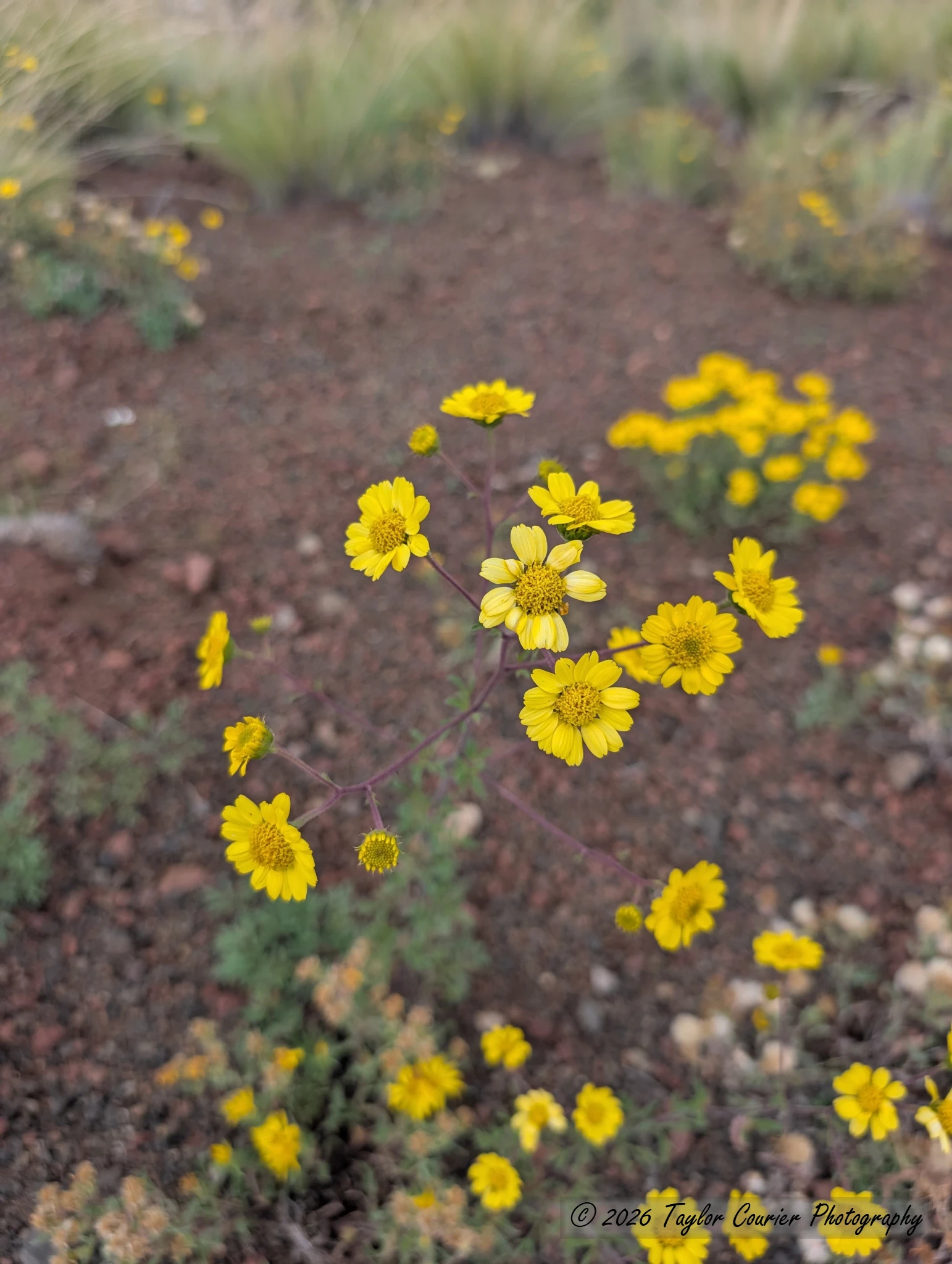
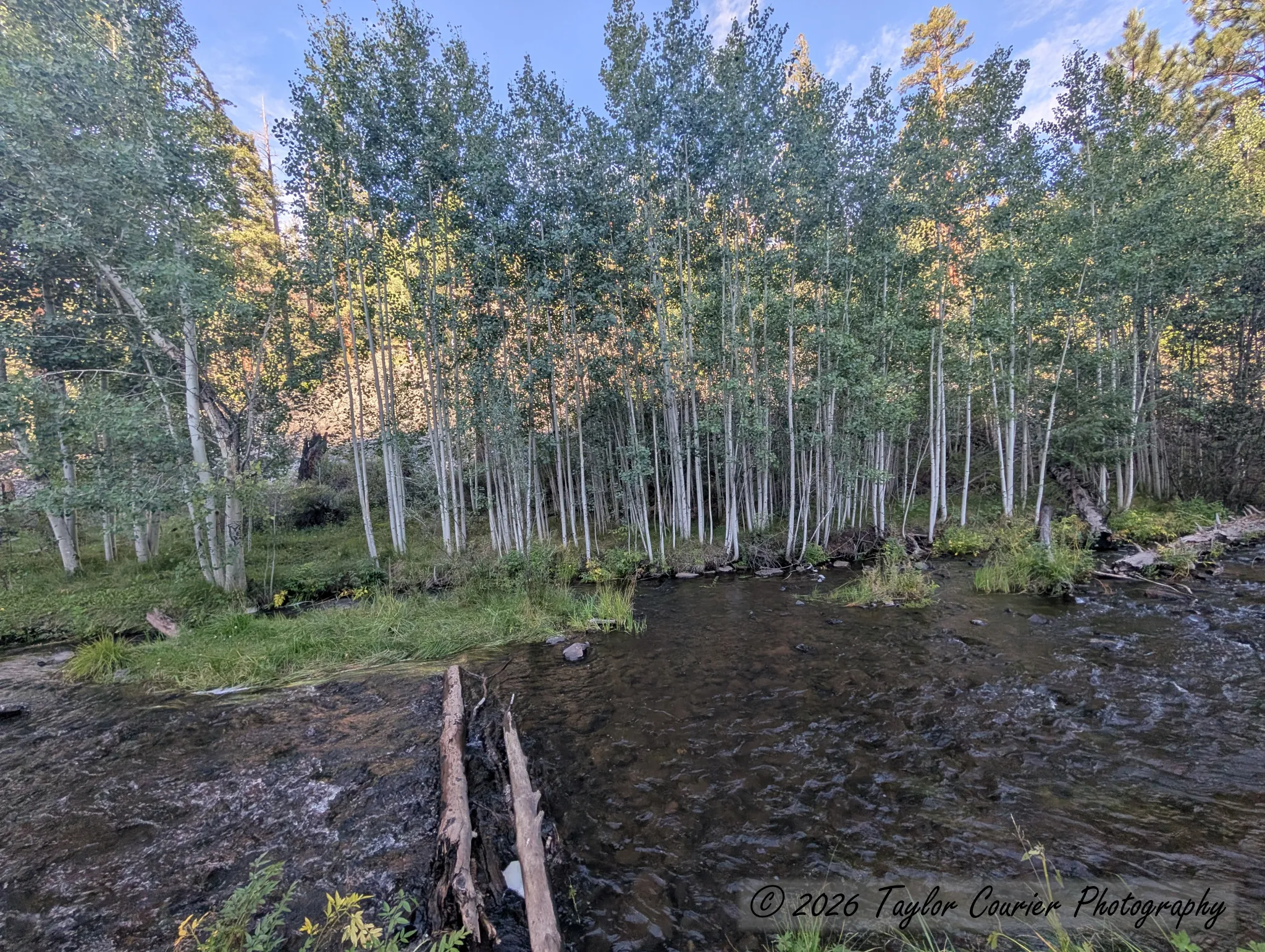
I got a late start and drove up through Payson, then through Show Low and Pinetop-Lakeside, before dropping down into Greer — the highest town in the state at 8,400 feet. From there I did a short hike from the Government Springs Trailhead along the West Fork Little Colorado River: scenic mountain and river views, a few wildflowers, and a welcome change from the Phoenix desert heat.
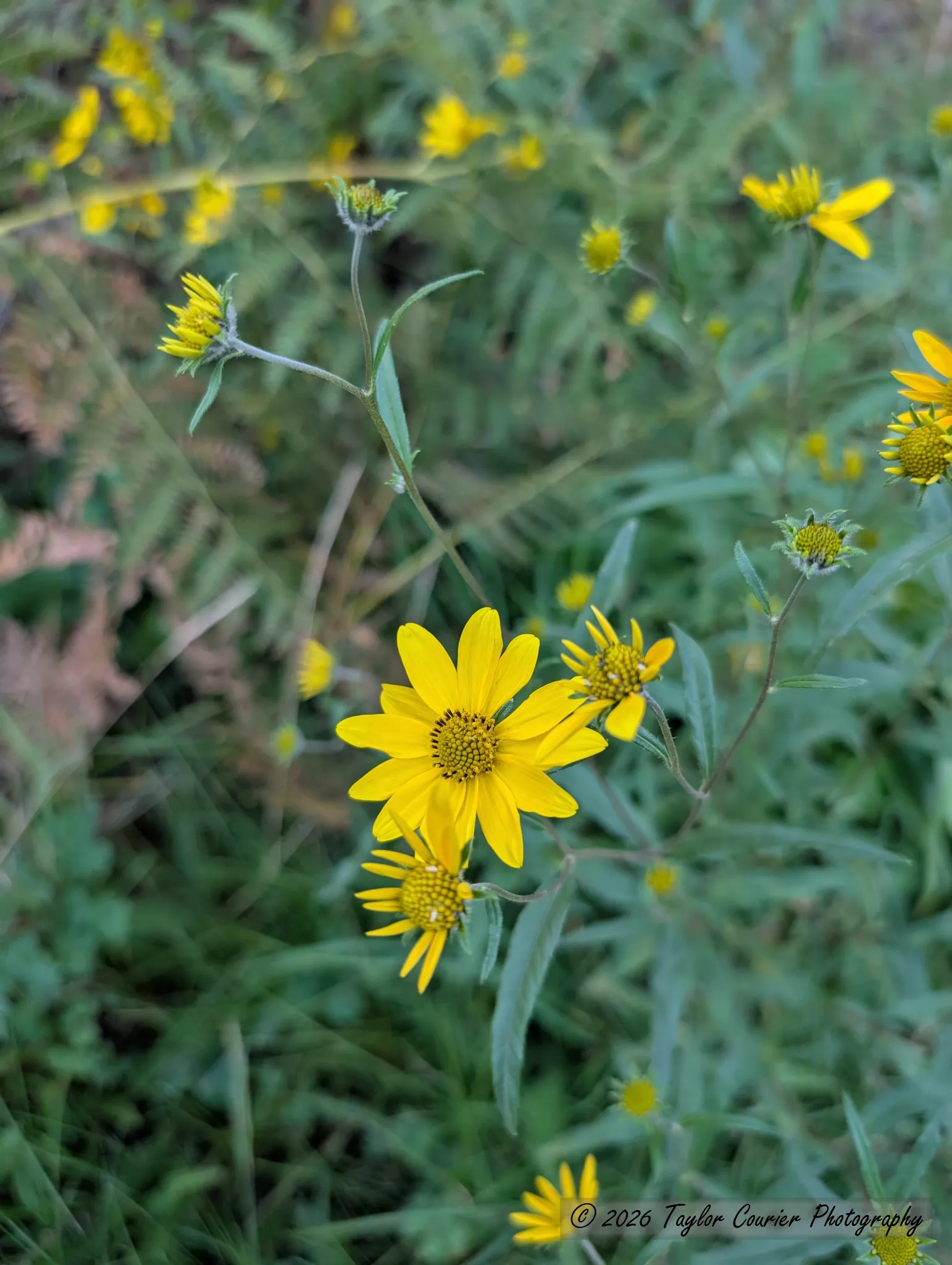
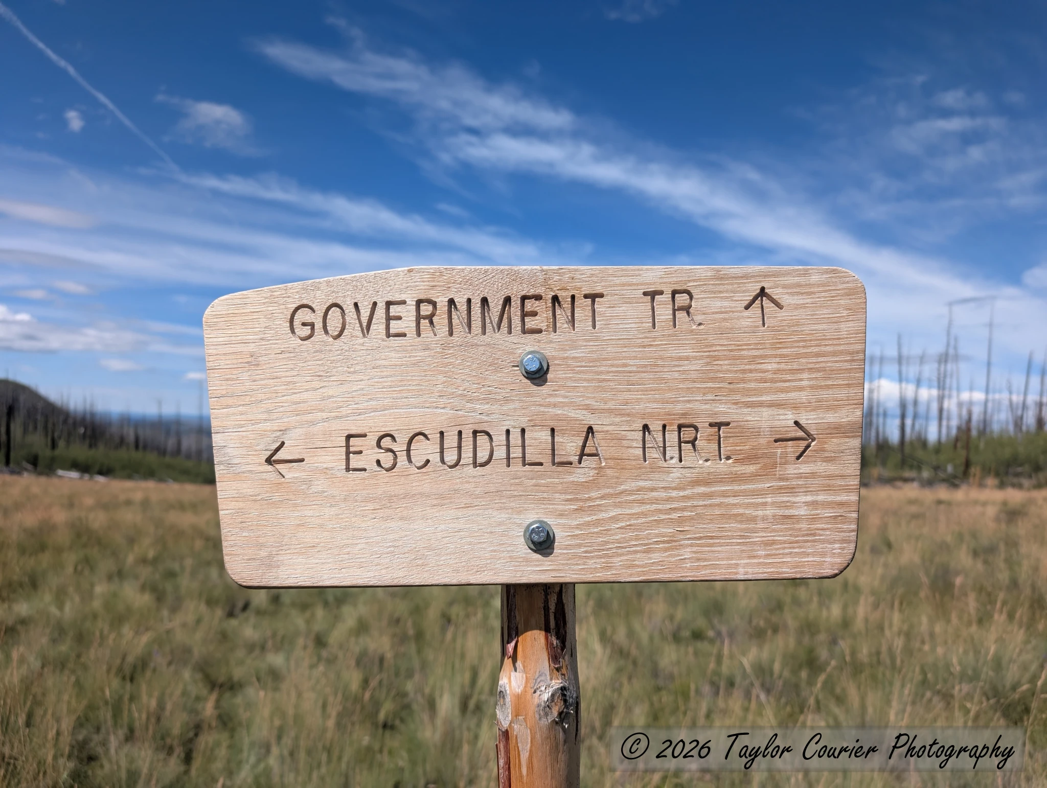
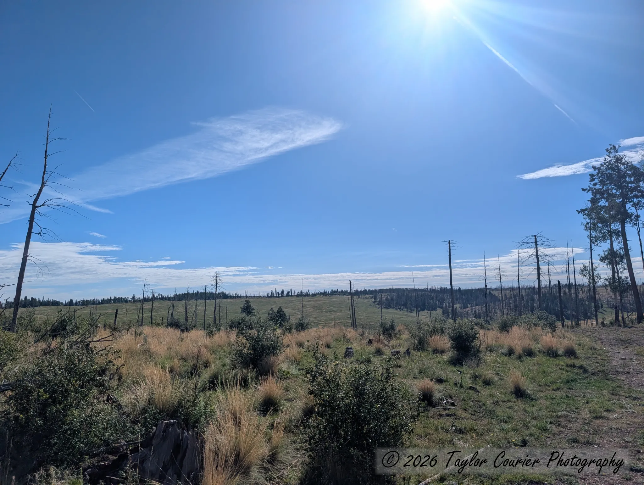
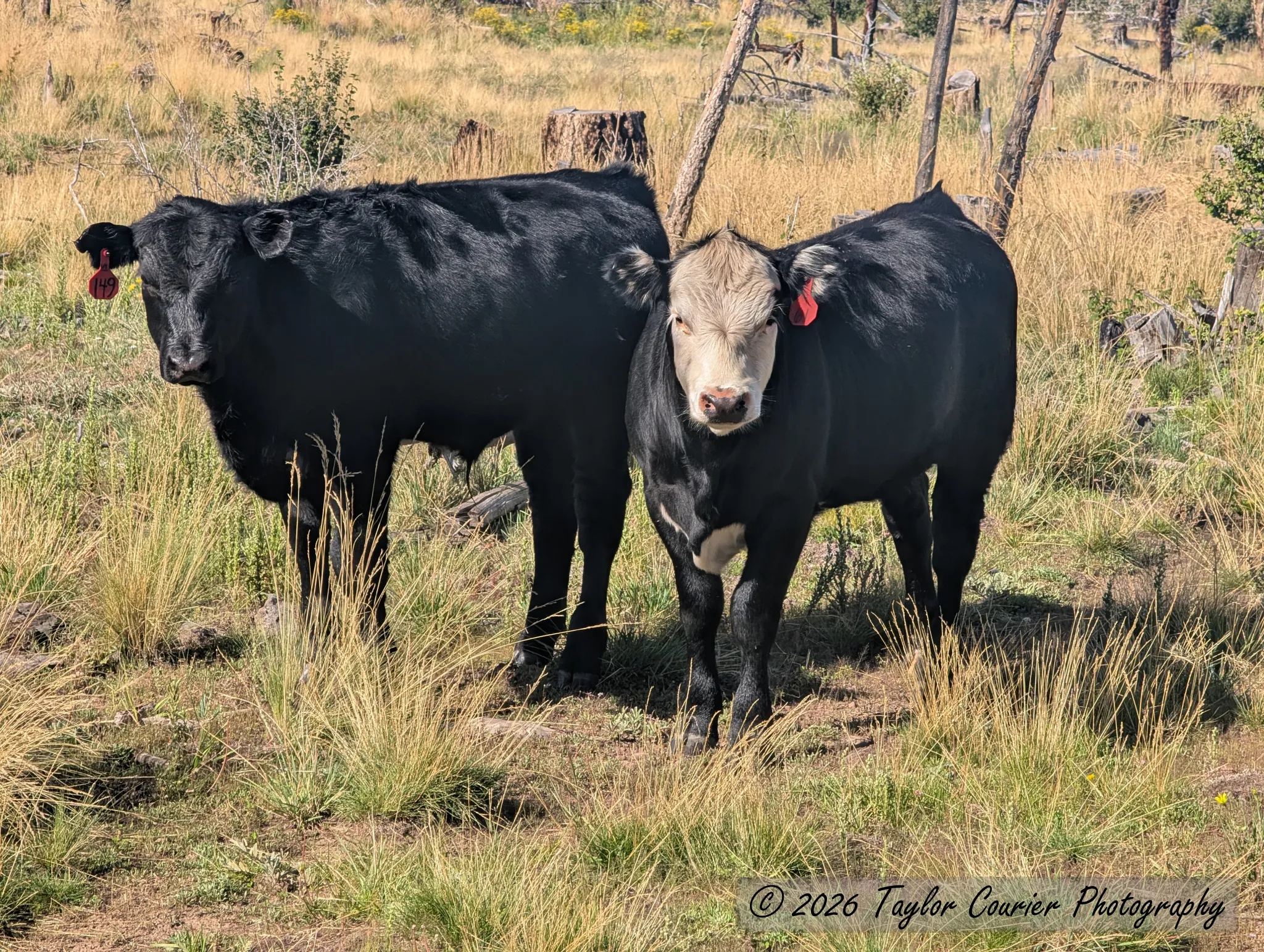
From Greer I passed through Eagar and turned onto a winding dirt road past the Sipe White Mountain Wildlife Area, searching for a dispersed campsite. I kept going up the road toward the Escudilla Lookout Trailhead, climbing to 9,800 feet, where I camped along a forest road while cows ambled by.
Sunday: Escudilla Mountain
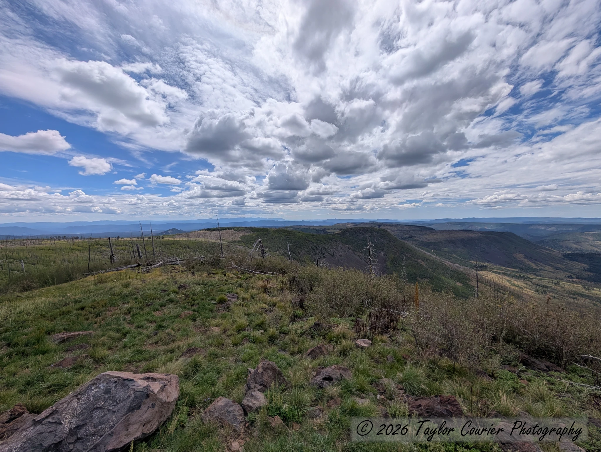
The next morning I drove the few remaining miles to the trailhead, surprised to find only two cars there at 9 a.m. on a holiday weekend. I started up toward the summit of Escudilla Mountain — the third-highest peak in Arizona, sitting about 3.5 miles from the New Mexico border.
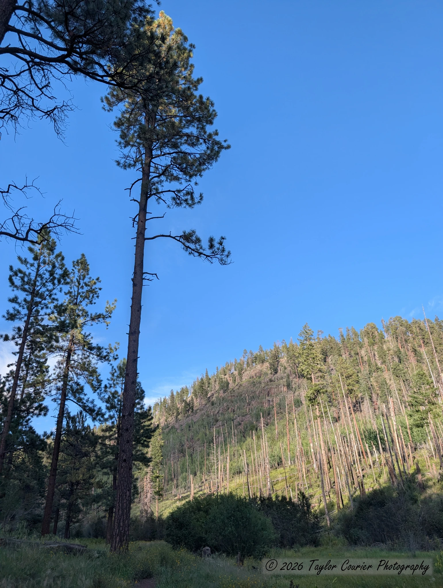
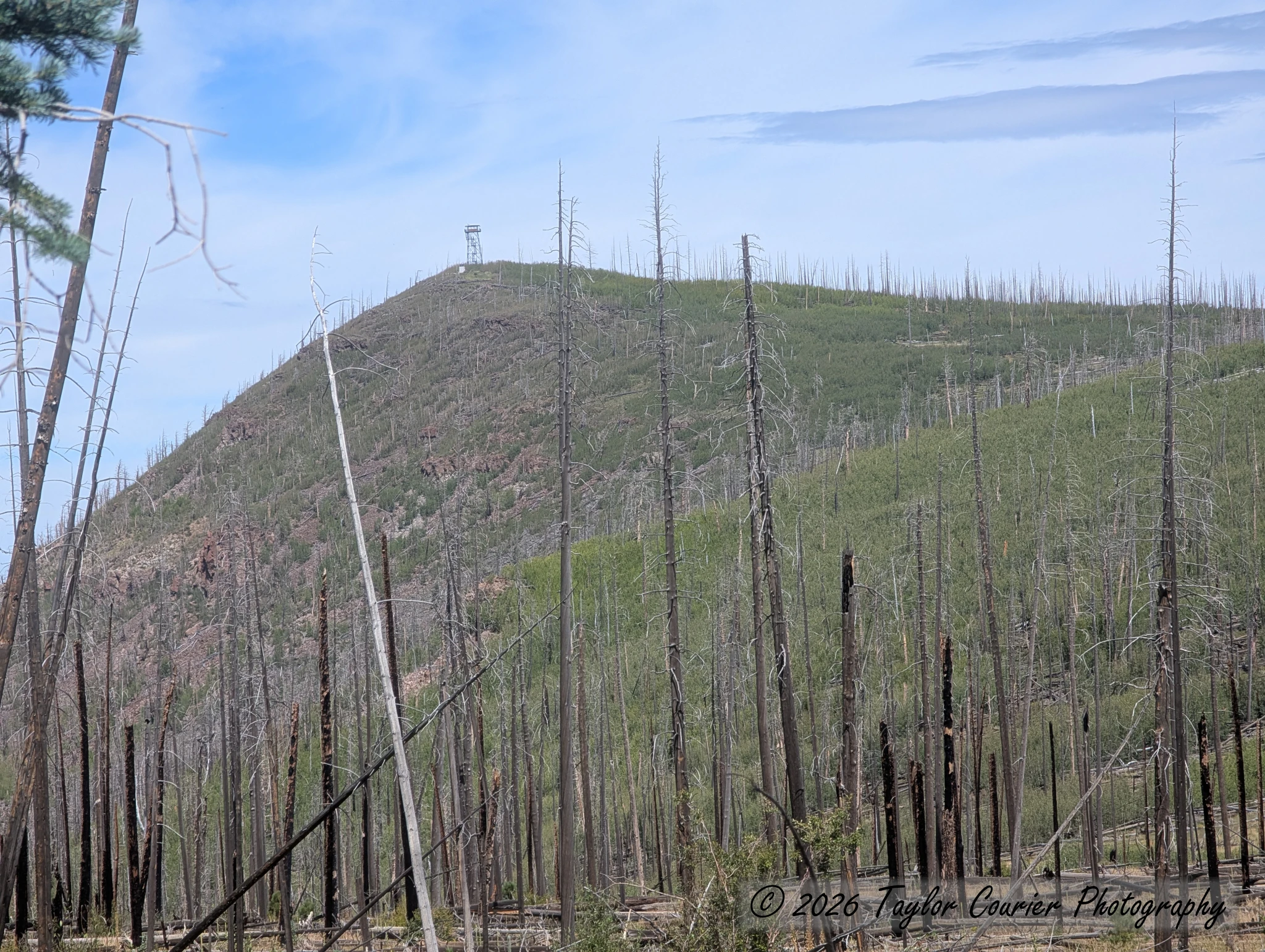
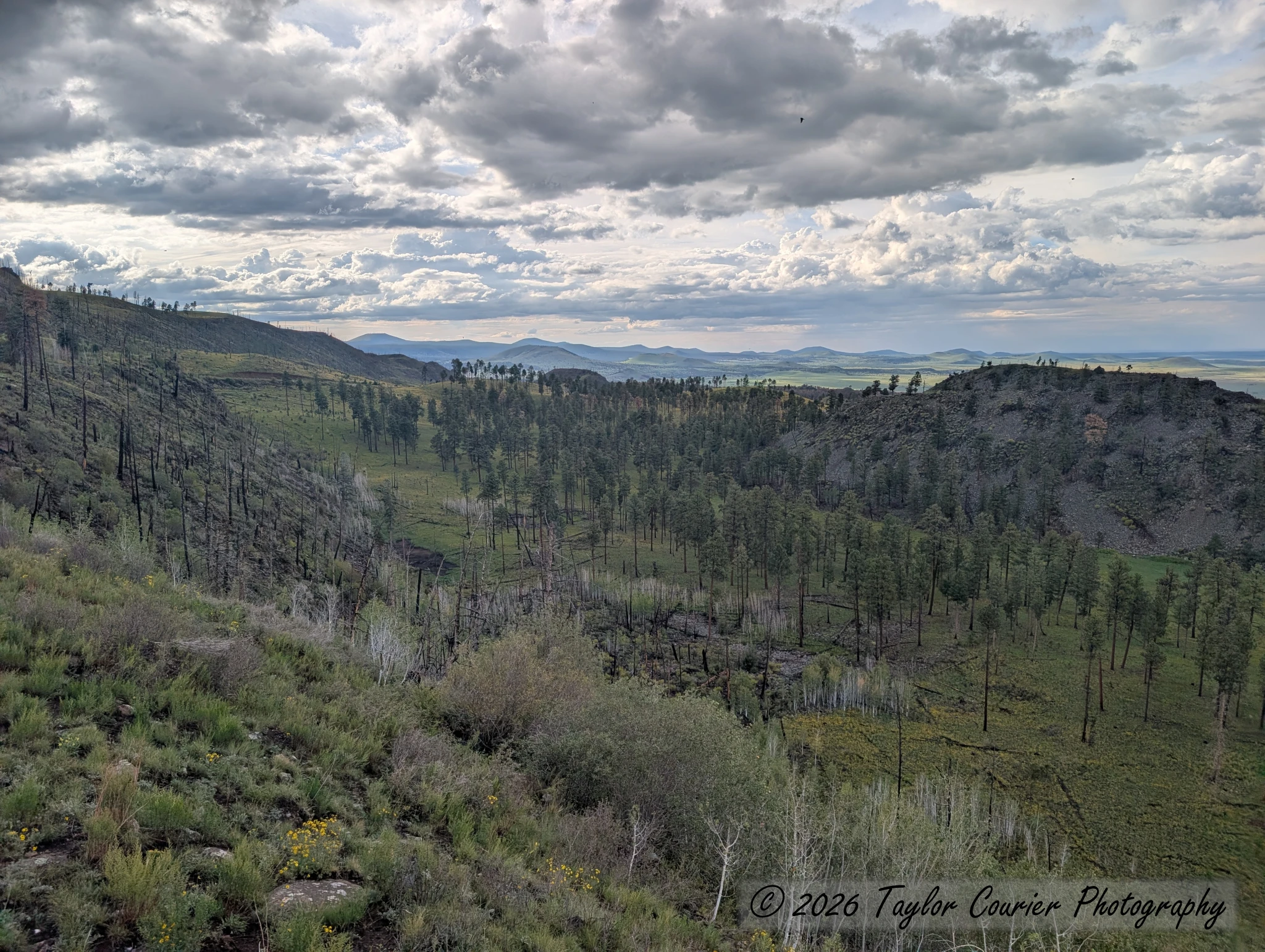
The mountain was hit hard by the 2011 Wallow Fire, which burned 538,049 acres, including the cab structure of the fire lookout at the summit. The tower itself still stands, and looks mostly intact from a distance — but the cab at the top is missing its floor and interior, with only a few melted solar panels left behind.
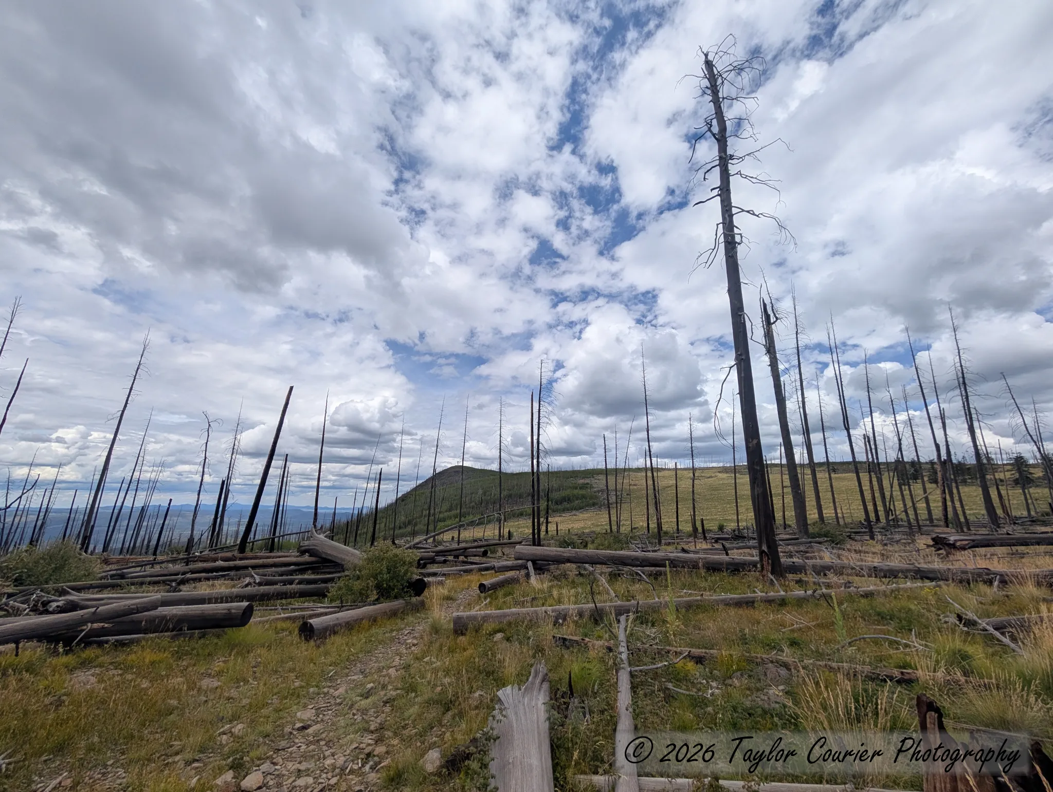
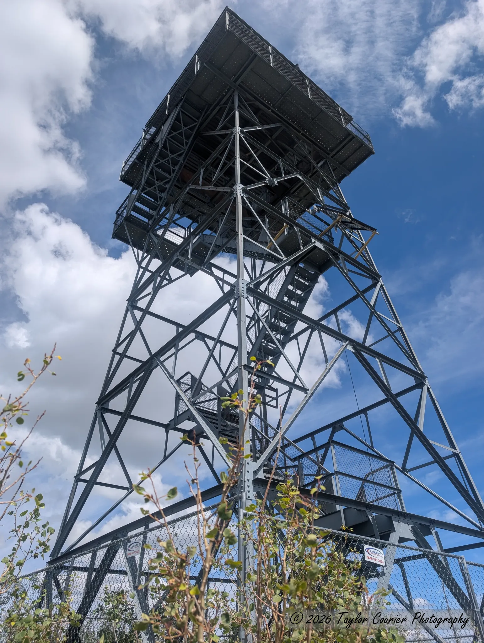
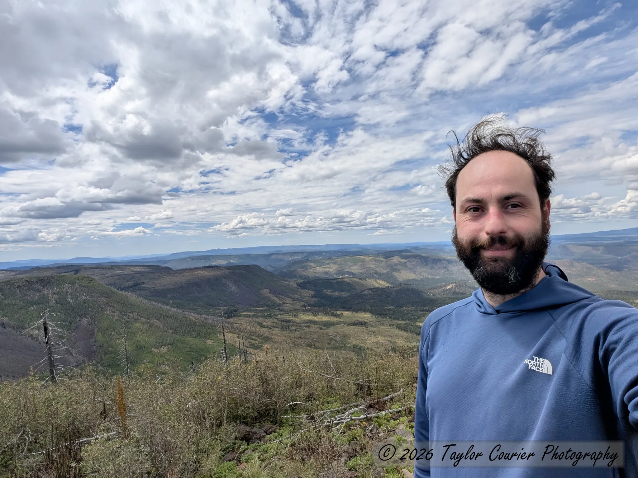
On the entire hike I only passed four groups totaling 11 people, and had the summit and the entire top half of the trail to myself.
Hike stats: 6 miles round trip, ~1,500’ elevation gain.
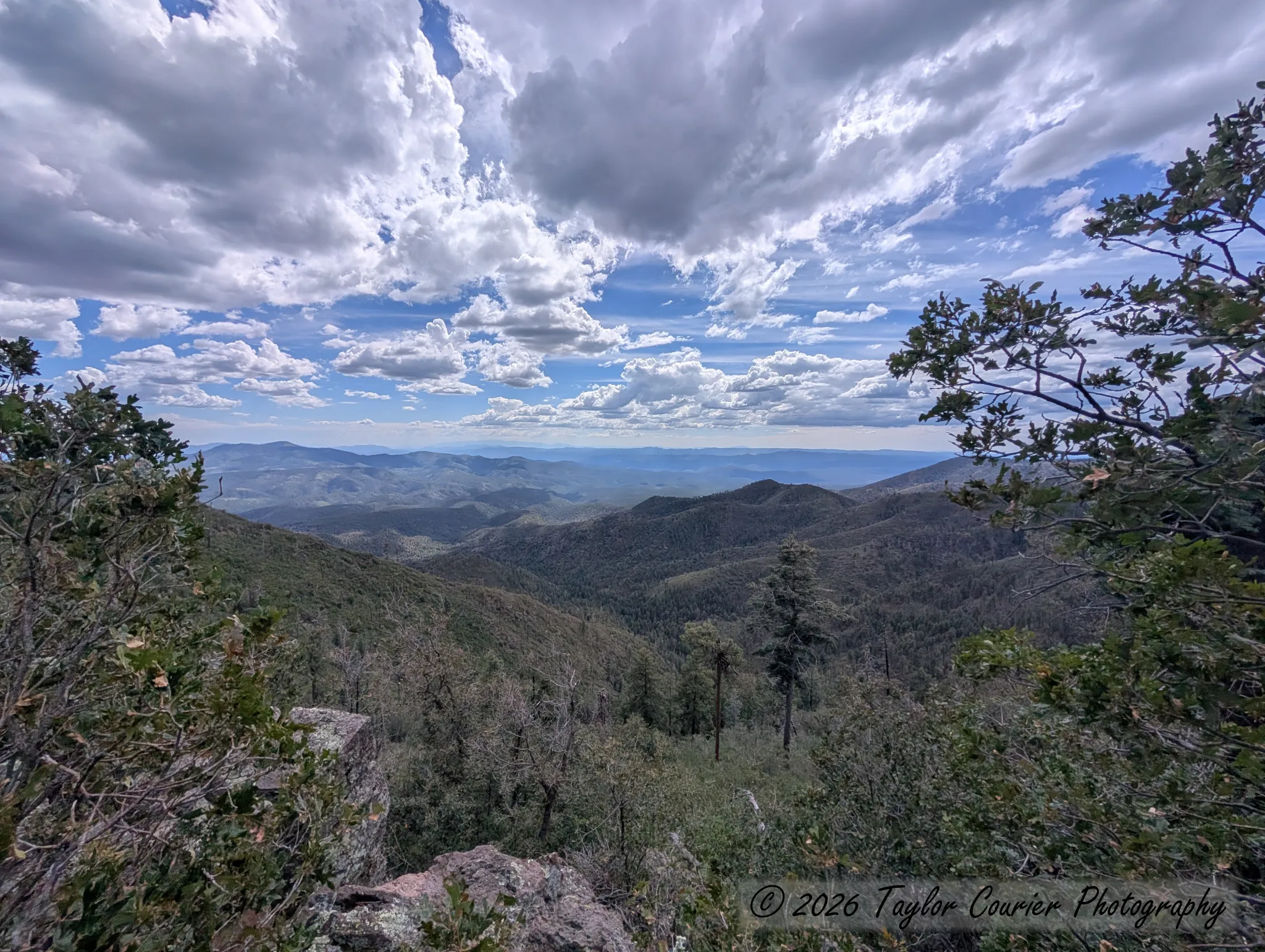
After the hike, I continued driving south on the Coronado Trail, passing through Hannagan Meadow and reaching the Blue Vista Scenic Overlook, which looks south over the edge of the White Mountains toward the Blue Range Primitive Area. That was my turnaround point — the rest of the Coronado Trail, with its hundreds of curves, will have to wait for another trip.
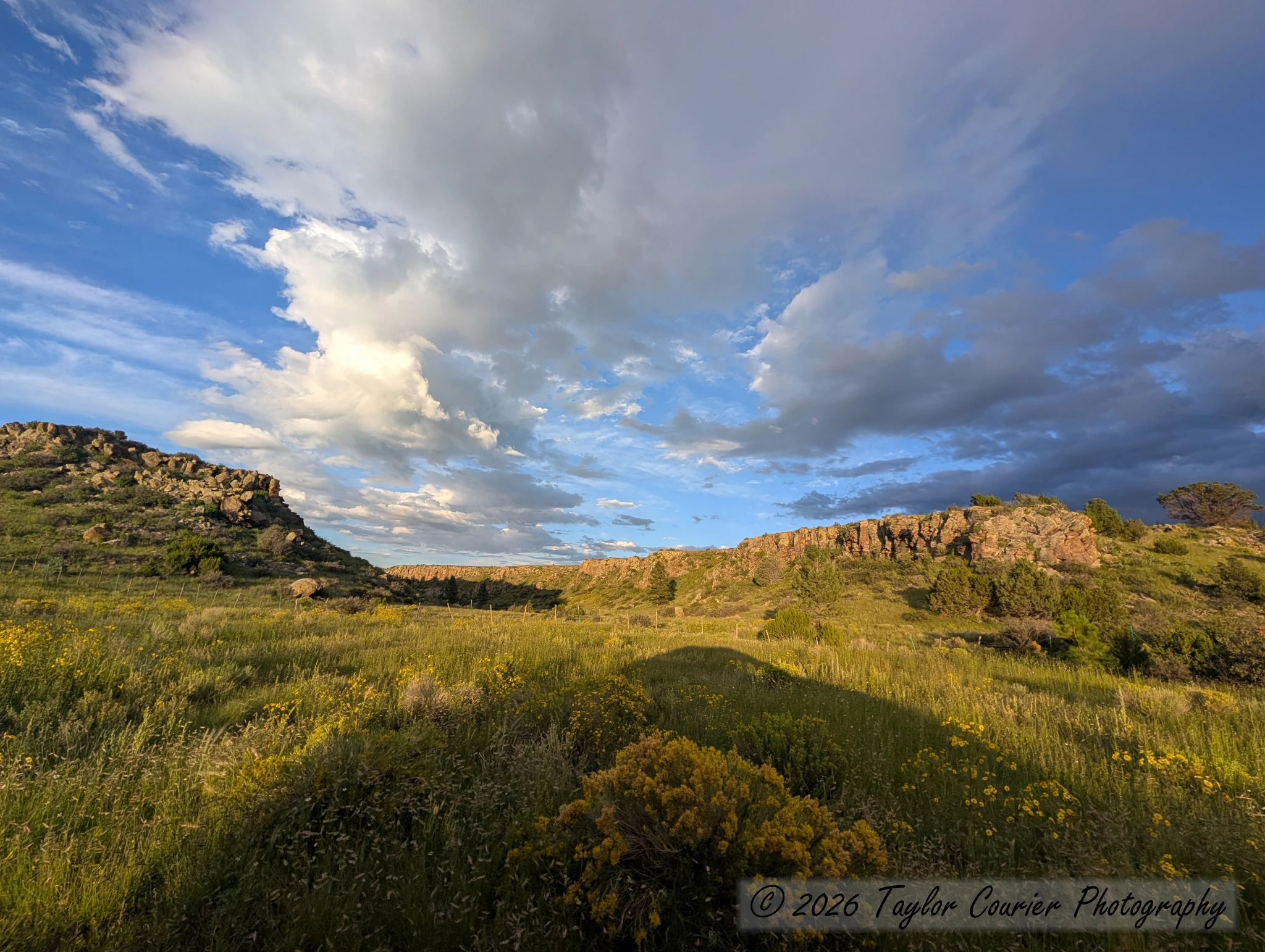
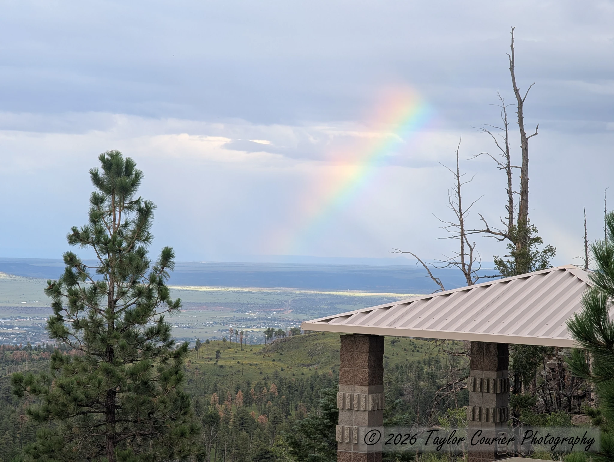
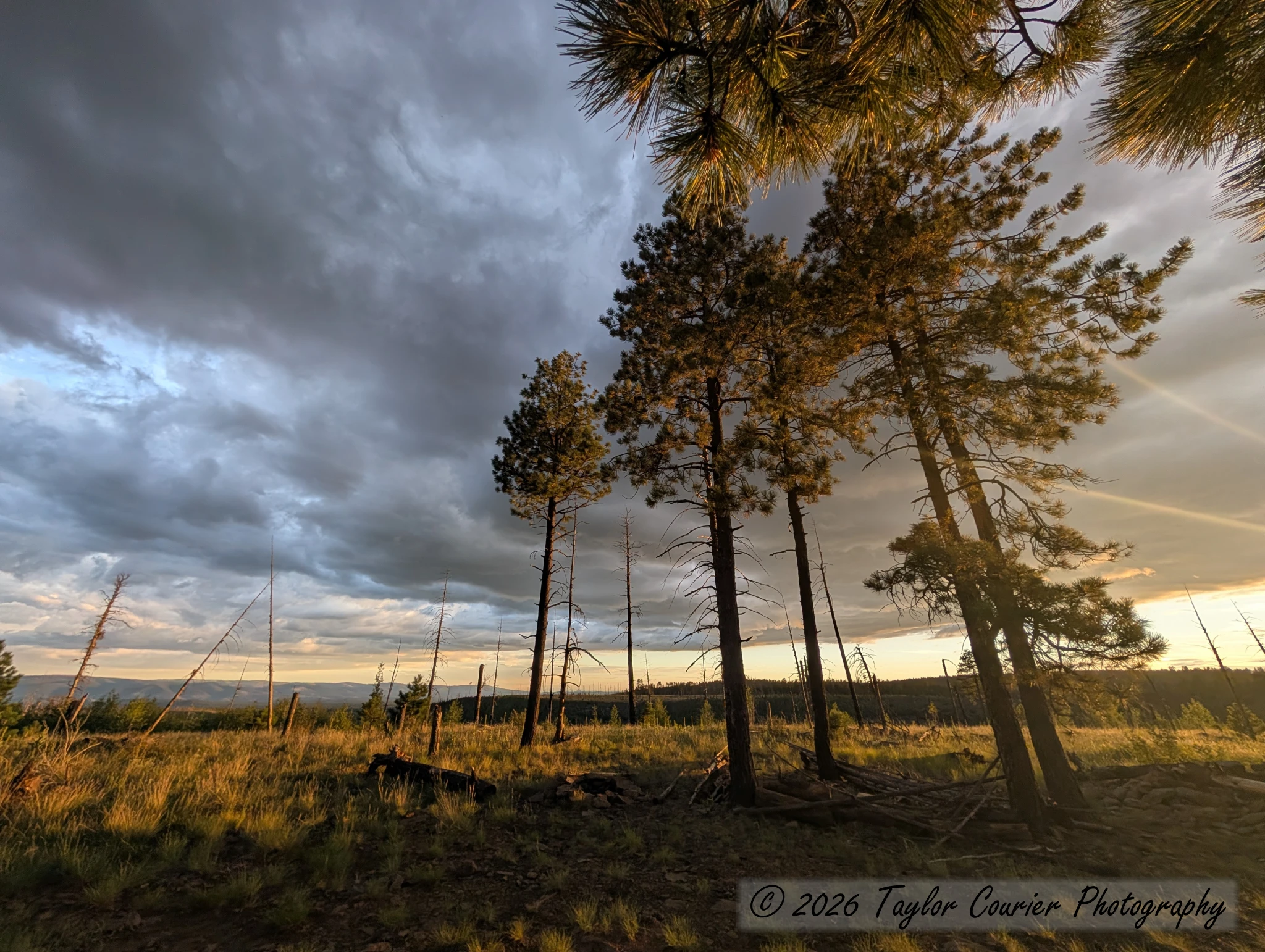
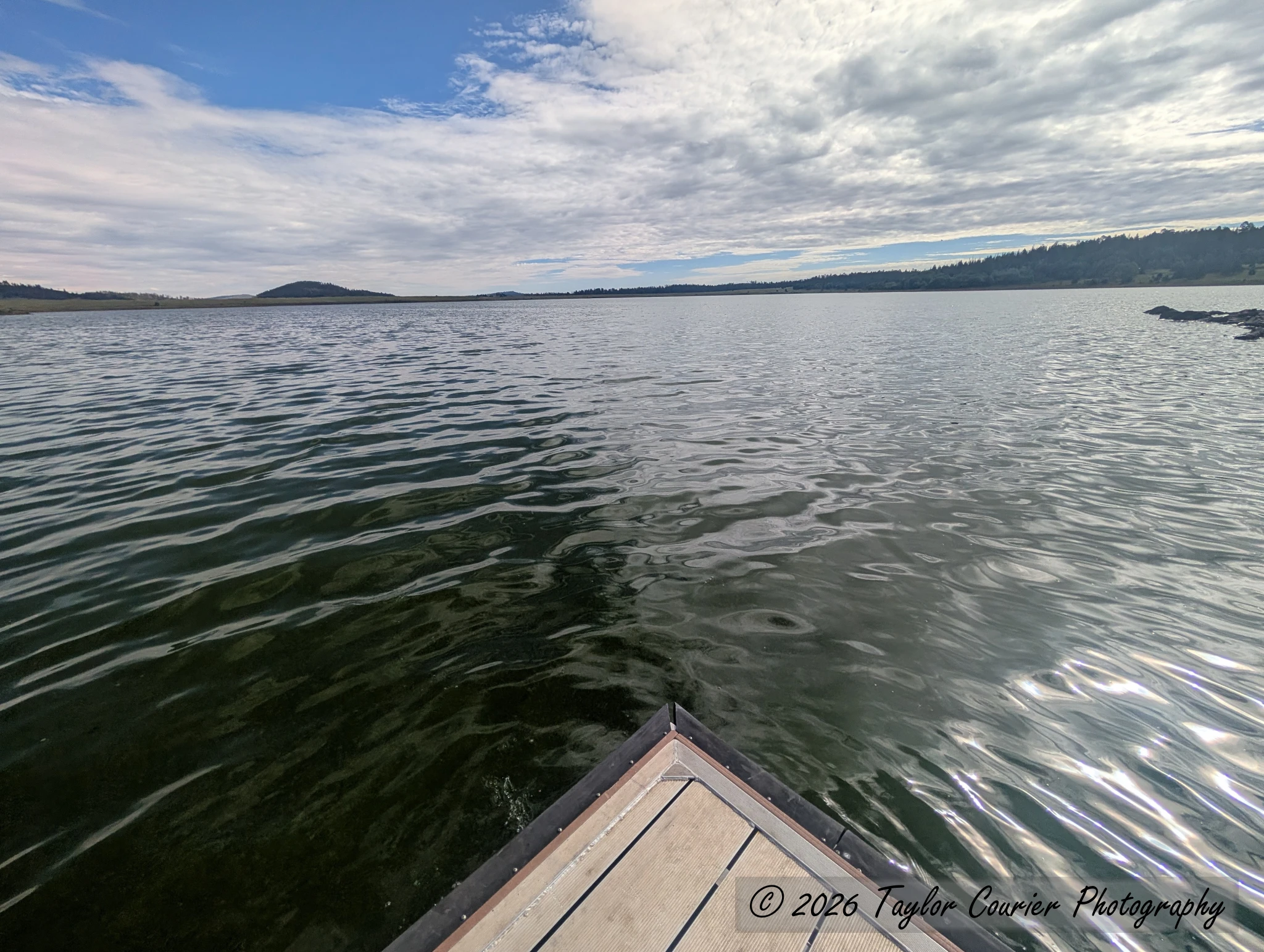
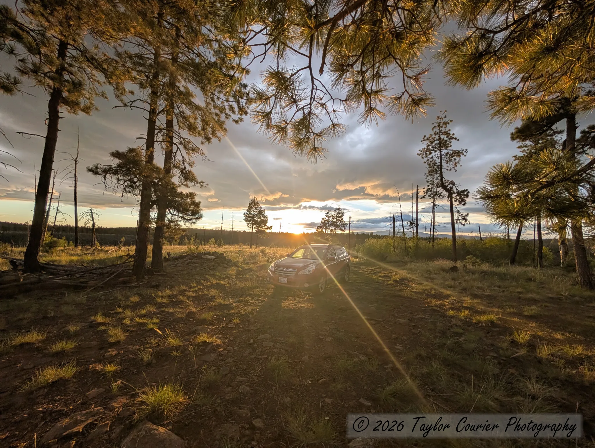
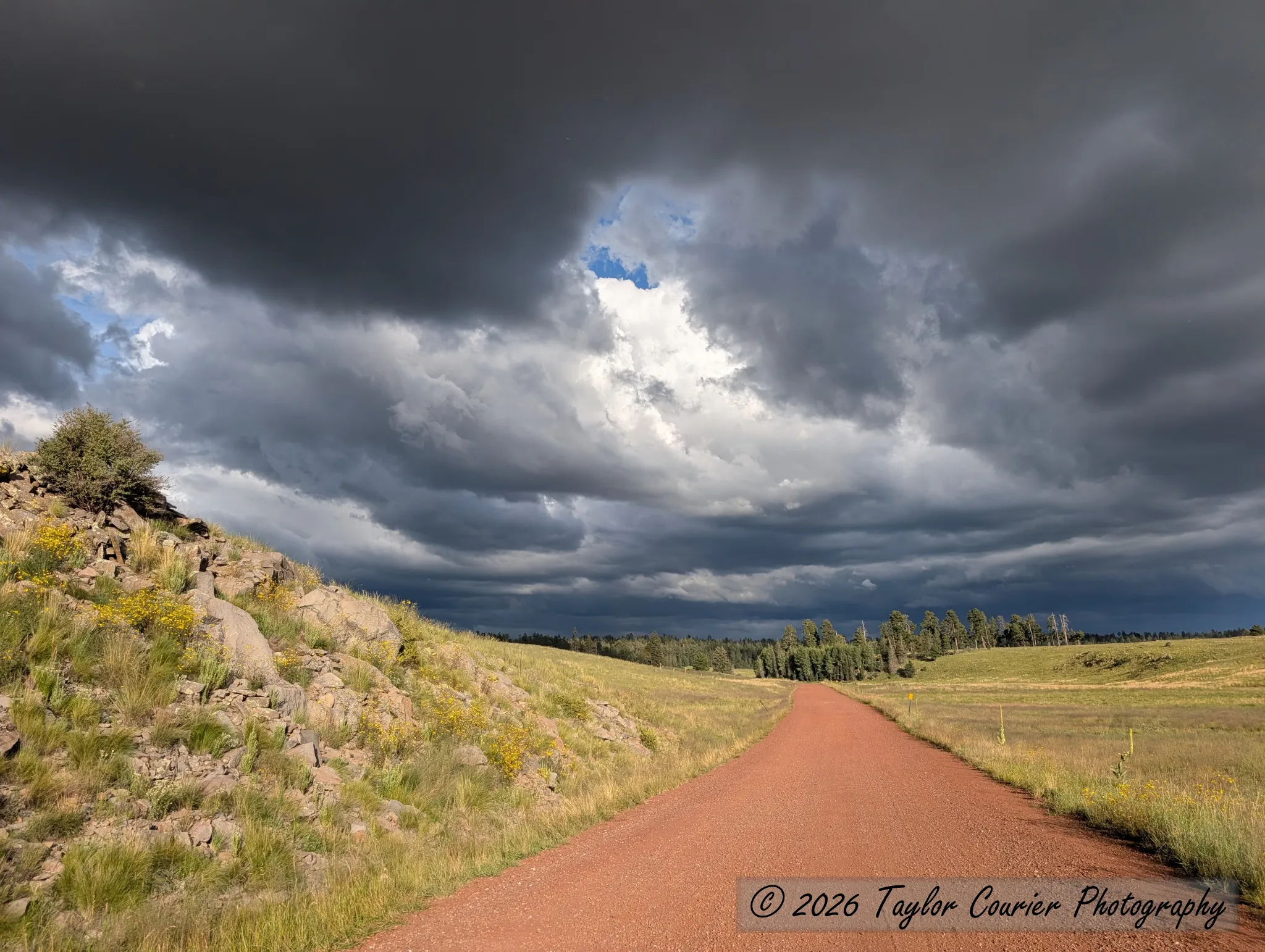
I camped the second night just south of Big Lake, at a dispersed site overlooking the canyon of the West Fork Black River. As sunset approached, the light was phenomenal — an orange glow against dark, threatening storm clouds. Soon after I set up my tent, the rain arrived. I made a quick trip back to the lake and ended up waiting out the hardest rainstorm I’ve seen in a while, sitting in the car. When I got back to camp, the spot where my car had been parked earlier was still bone dry. Microclimates.
Monday: the long way home
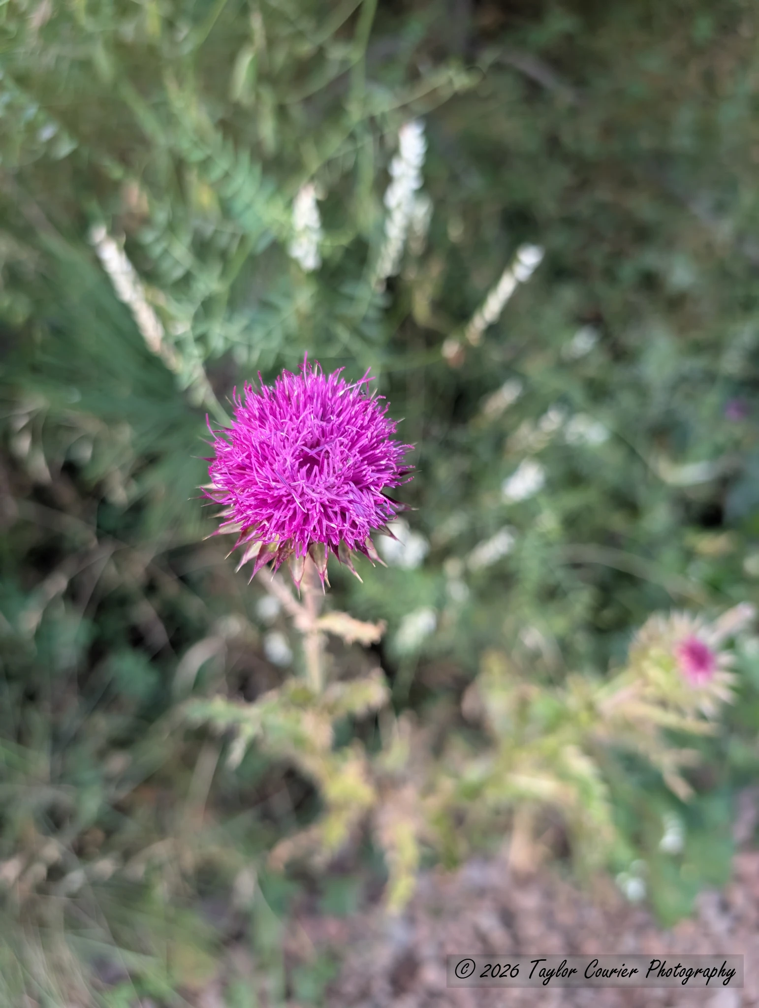
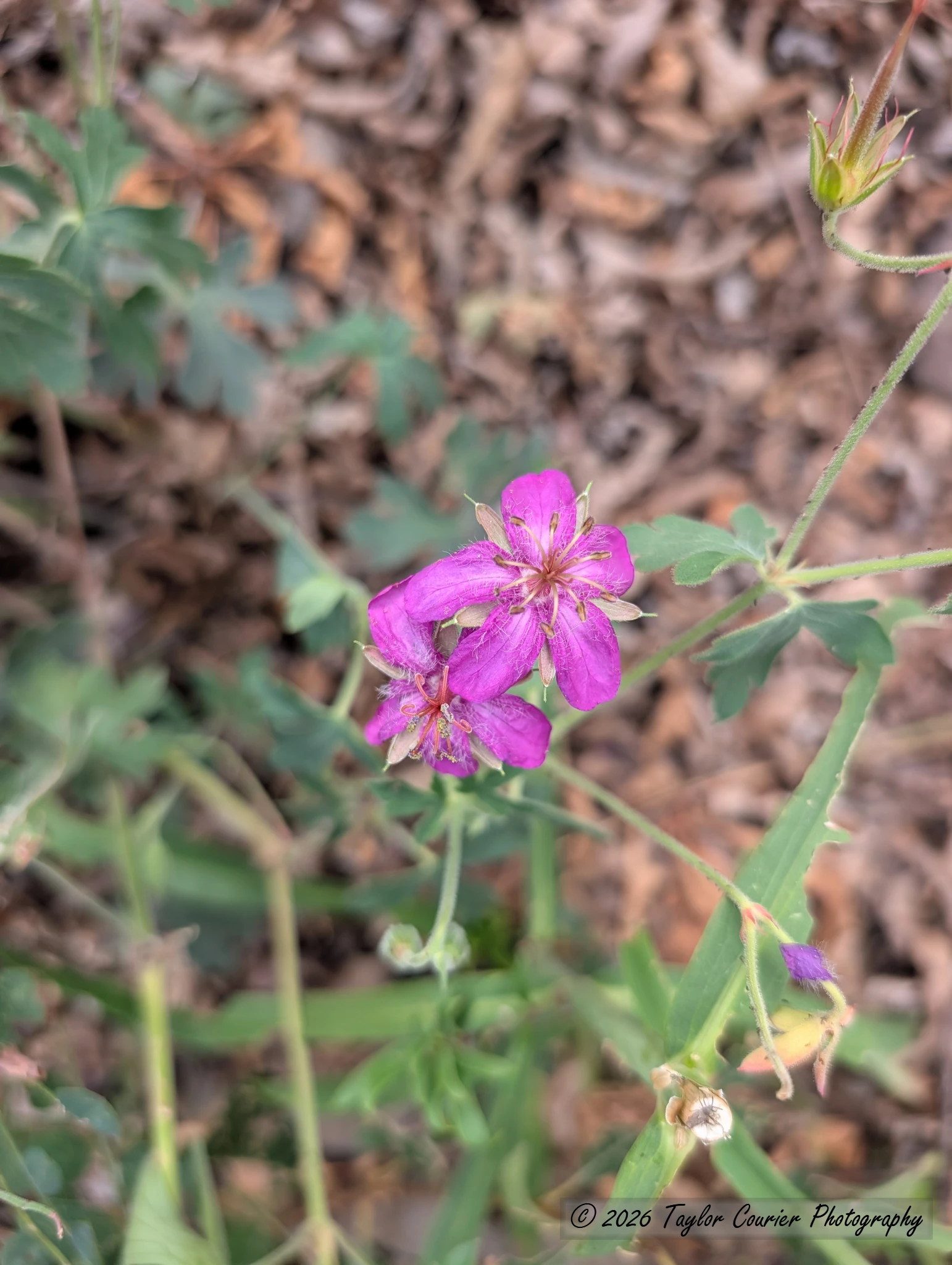
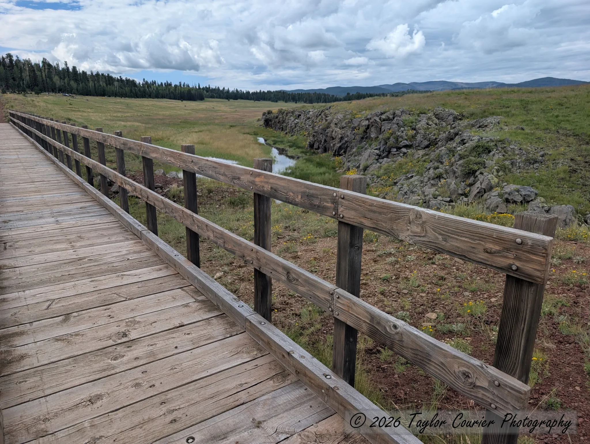
The next day I passed Big Lake again and stopped for a short walk where an old railroad grade has been turned into a trail. A pedestrian bridge now replaces the missing trestle over a small creek and rocky canyon, and wildflowers were abundant along the way.
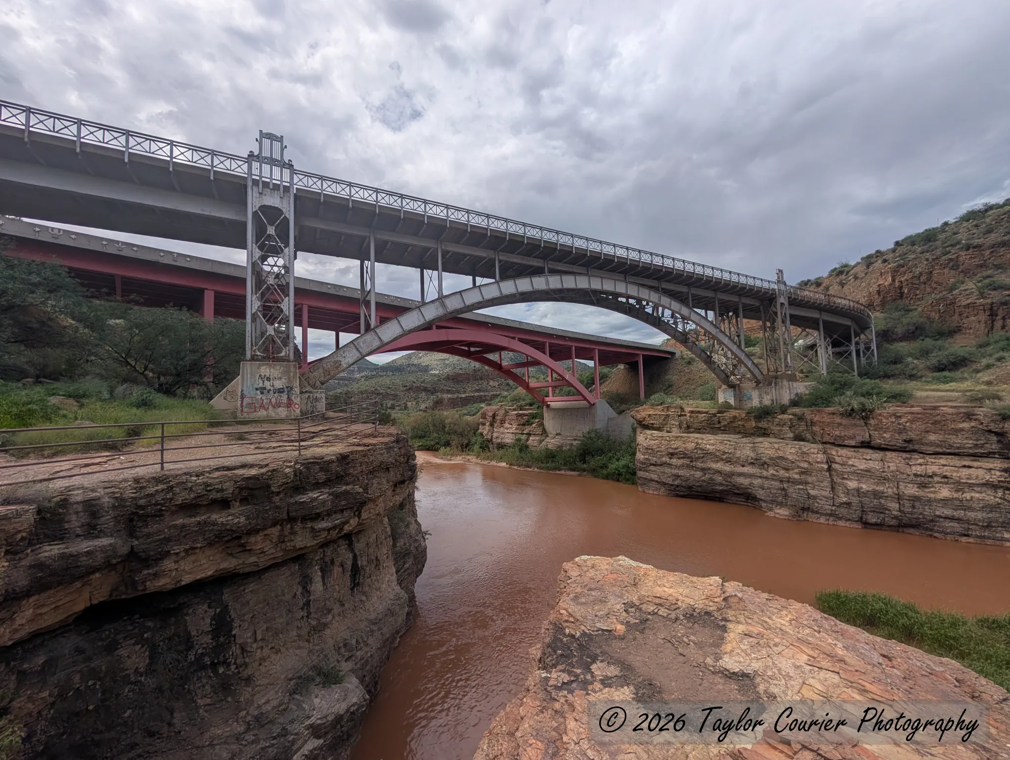
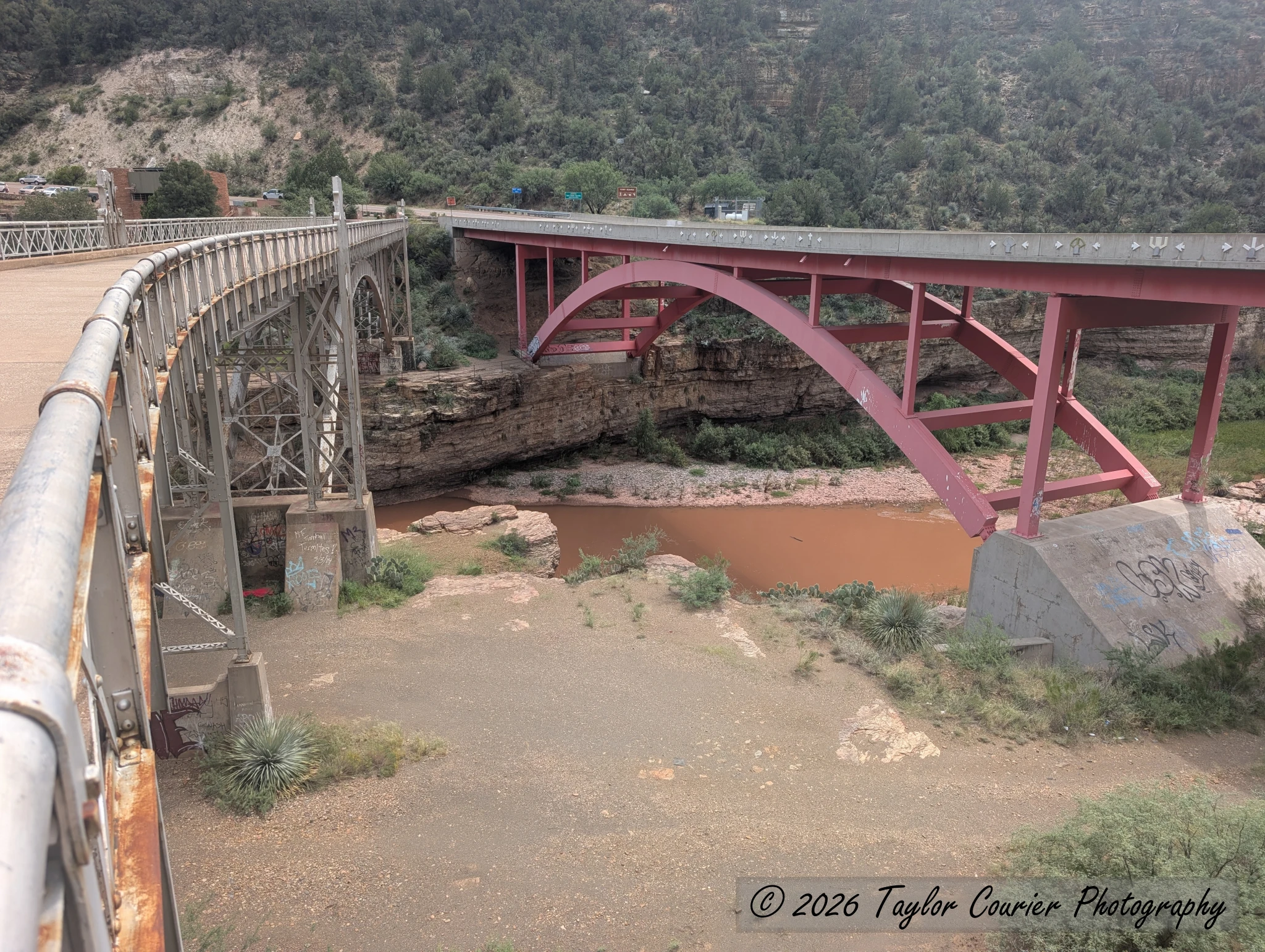
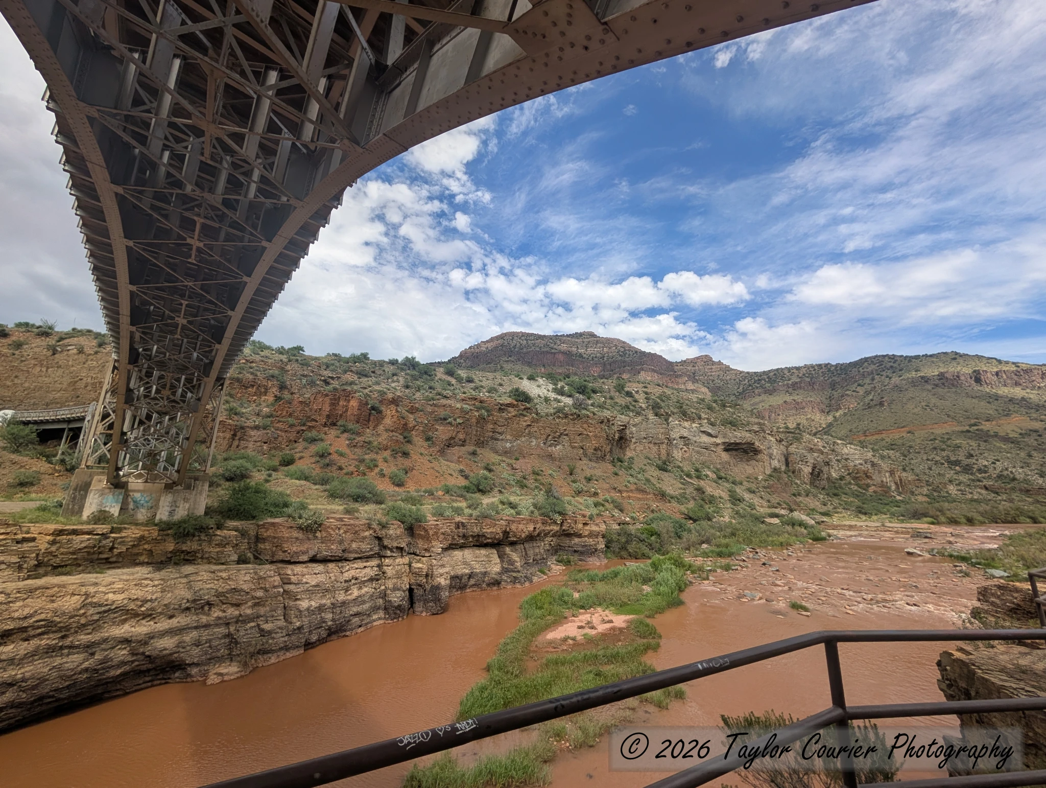
After a quick pass by the Sunrise ski area (one of only three in Arizona), I headed home via a loop through the Fort Apache Reservation, through Canyon Day, then onto US 60 through Globe, stopping at the Salt River Canyon. The highway zigzags several thousand feet to cross the river, and at the bottom there’s a rest area with stairs down to a river viewpoint, plus the option to walk across the old highway bridge.